Cantebonne NeighborhoodVillerupt (54)

Project Description
This neighborhood is located in a transitional zone between city and countryside—a declining in-between space characterized by abandoned orchards, fallow land, and scattered vegetable gardens. The pavilions and fields coexist without interaction.
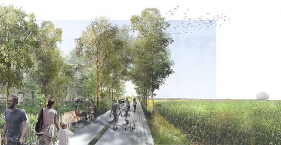
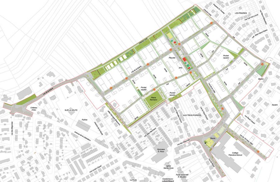
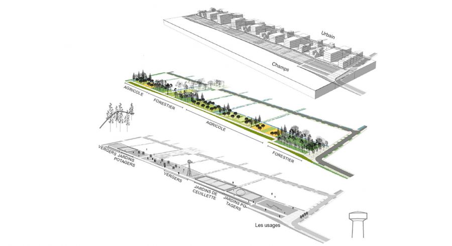
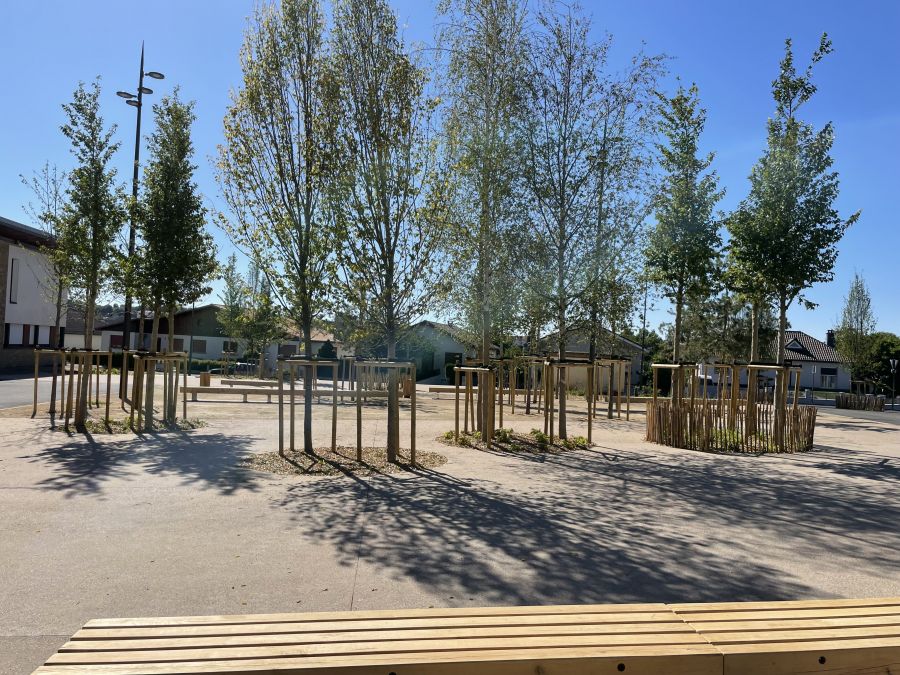
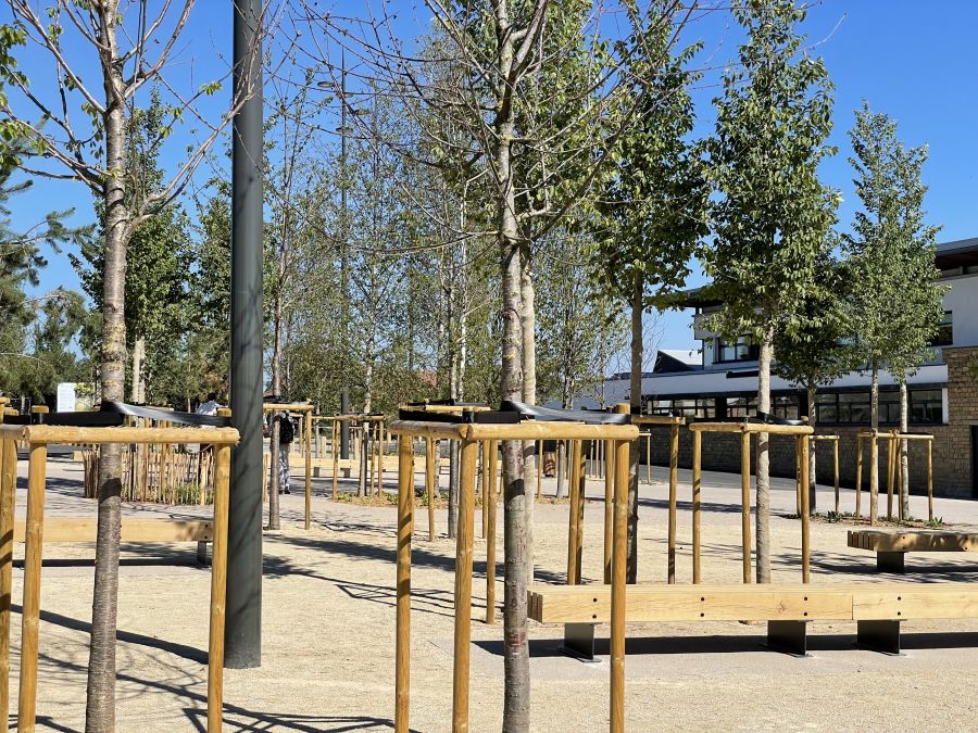
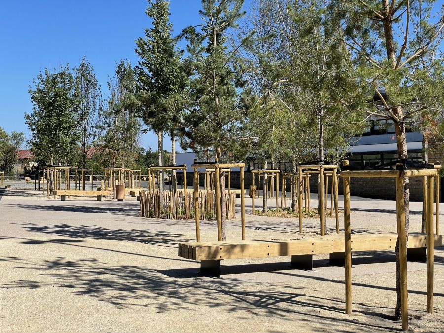
The neighborhood is organized around two public spaces, strategically positioned along two ridge lines that take advantage of the area's topography to manage rainwater. The first public space acts as a countryside frontage, showcasing the agricultural landscape and emphasizing this perpetually evolving territory. It also outlines a pathway linking two forested areas. The second space is located at the heart of the neighborhood, connecting its entrance to the fields. It hosts communal living spaces, such as the marketplace and a square with children's play areas.
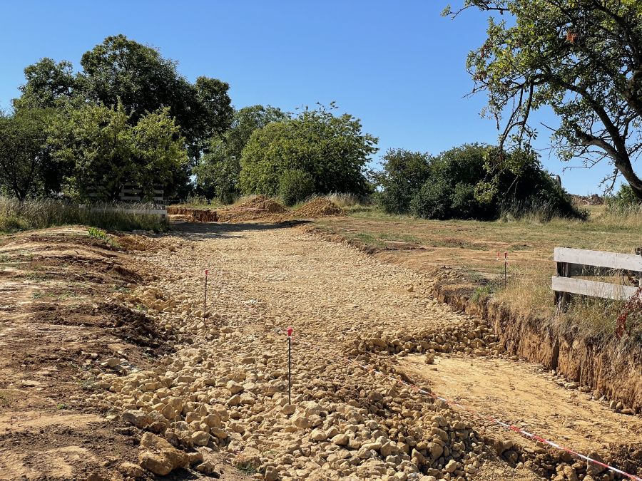
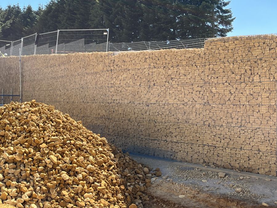
The public spaces are designed using local resources, both vegetative and spatial. Strip plots and agricultural textures weave a new narrative while honoring the site's heritage. The project integrates three main landscape textures: wetland textures, forested areas, and agricultural patterns. The materiality of the public spaces highlights the site's geology by incorporating stones extracted from the subsoil.
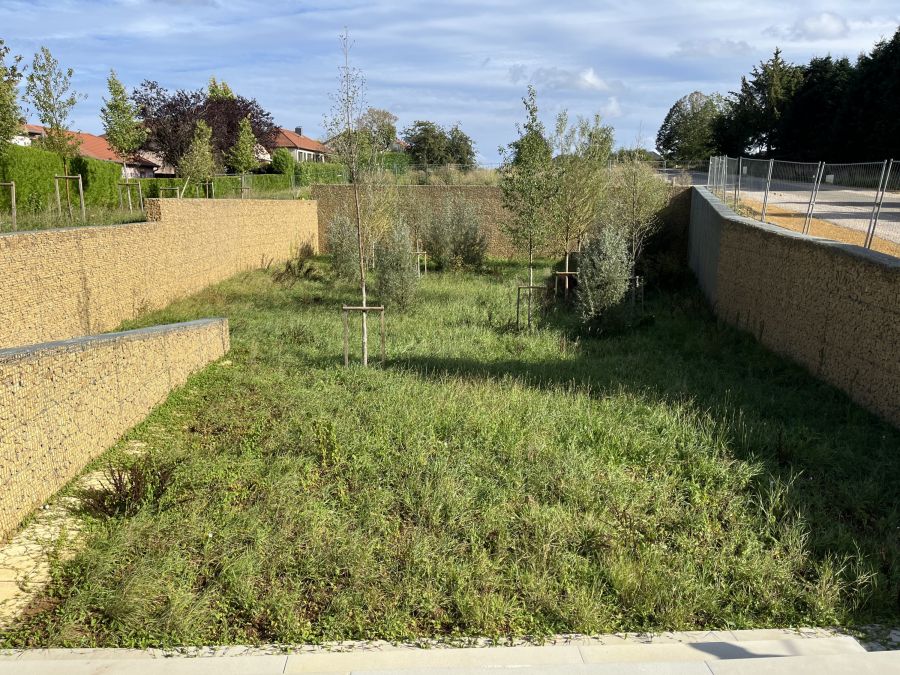
Low points, marked by hydraulic features and water-loving vegetation, trace the flow of water. In contrast, high points emphasize the geography and enhance distant views through clusters of groves. Community cultivation areas for residents are situated on agricultural parcels.
Specifications
- Status : Pending
- Project Owner : EPA Alzette Belval
- Mission : Master plan and project management for public spaces
- Area : 17.5 ha
- Cost : 7.5 M € excl. VAT
- Team : Praxys Landscape & Urban Planners
MG-AU Architecte Urban Planner - Mandatary
INGEROP Engineering Consultancy
Alphaville Programming